台中和平登觀音山東北峰.神谷山.遠藤山東峰.竹林.達觀山 恩仔2022/6/29
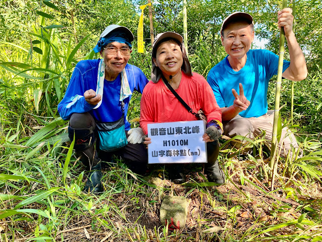 |
| 觀音山東北峰 |
今日到和平登觀音山東北峰、神谷山、遠藤山東峰、竹林、達觀山,第一座觀音山東北峰原以為30分鐘可登頂,卻砍路砍到手軟;遠藤山東峰因鐵鍊擋道,提早停車踢林道,其餘則來回1-20分鐘即可登臨。
攀登山岳:
觀音山東北峰 H1010M 山字森林三角點、山字水泥柱 台中市和平區
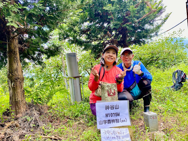
神谷山 H1075M 山字森林三角點 台中市和平區
遠藤山東峰 H1648M 森林三角點(自然石) 台中市和平區
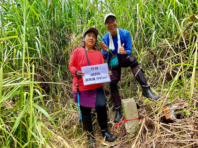
竹林 H520M 鑛務課779號 台中市和平區
達觀山 H772M 山字森林三角點 台中市和平區
一早5:00坐上AndHan的車,上74號接往潭子後經東勢,過卓蘭大橋取右,過白布帆大橋後接上中47鄉道岔取左,續直行烏石巷(不過烏石坑橋),烏石巷行約700公尺遇右岔產道右轉沿產道上行,岔路口路燈1731號,右轉後第一根電線桿編號為「烏山分1」,里程歸零;0.85K 岔路取左,1.5K岔路取左,1.6K岔路取左,2.2K取左岔續行,2.5K岔路口停車,停妥車後,先吃早餐。
 |
觀音山東北峰--停車處
|
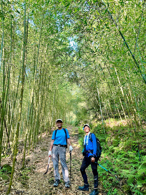 |
| 往觀音山東北峰 |
 |
| 往觀音山東北峰 |
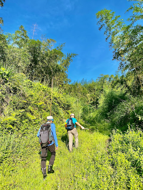 |
| 往觀音山東北峰 |
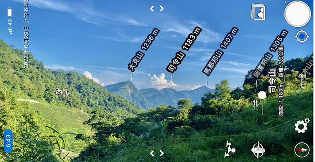 |
| 展望馬克連稜 |
 |
| 往觀音山東北峰 |
 |
| 往觀音山東北峰 |
 |
| 往觀音山東北峰 |
 |
| 觀音山東北峰--展望馬克連稜 |
 |
| 觀音山東北峰 |
 |
| 觀音山東北峰 |
 |
| 觀音山東北峰(山字水泥柱) |
 |
| 觀音山東北峰(山字水泥柱) |
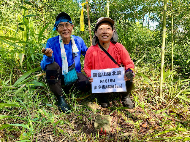
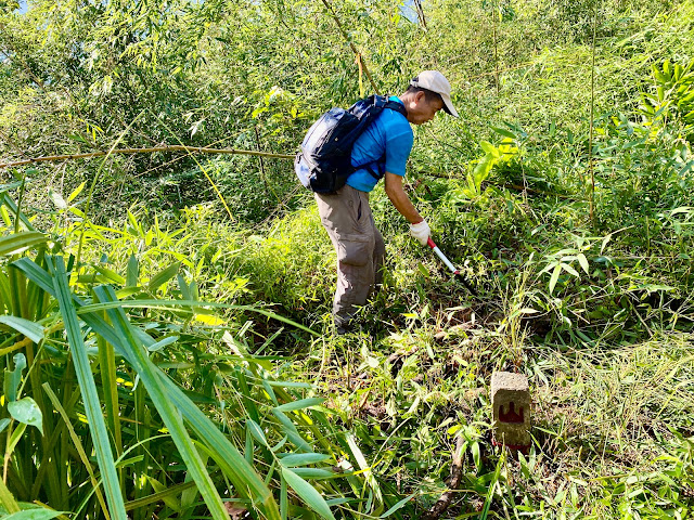
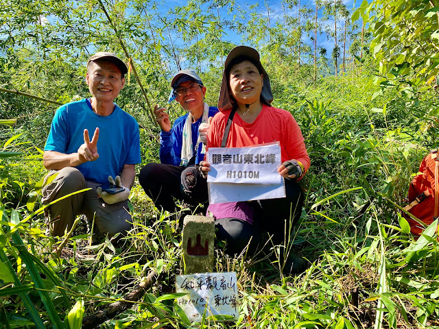
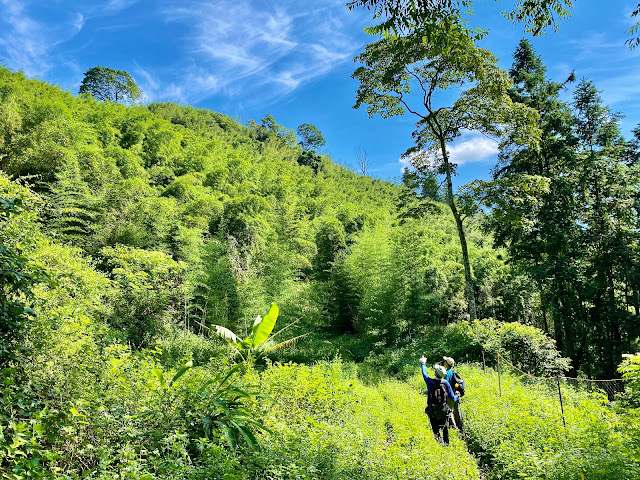
飽餐後,6:20開走,取右岔產道上行,6:27岔路取直,6:36岔路取左,應取右較近也較好走,右岔為回程時接回的路;沿路至山頂都有圍上一道細絲網,6:47上至細絲網邊,草長找不到路,最後橫切過竹林,終於看到路條,再陡上,上到山頂,找了好久,終於7:20找到山字水泥柱,雖然森林點距離只3、40公尺,卻得一路砍黃藤,好不容易來到森林點附近,3人開始找,因草、竹子長又多,找了一陣,7:47終於找到森林點,趕緊清空,讓基石露臉,山頂可清楚看到前方的馬克連稜;原以為只要30分鐘即可登頂,卻搞了1.5小時,好在昨兒也臨時決定不再續行觀音山,否則連走觀音山來回時間肯定超過5小時以上。
 |
| 觀音山東北峰下山 |
 |
| 觀音山東北峰下山 |
 |
| 觀音山東北峰下山 |
 |
| 觀音山東北峰下山 |
 |
| 遠望小棉堡 |
 |
| 神谷山登山口 |
 |
| 往神谷山 |
 |
| 往神谷山 |
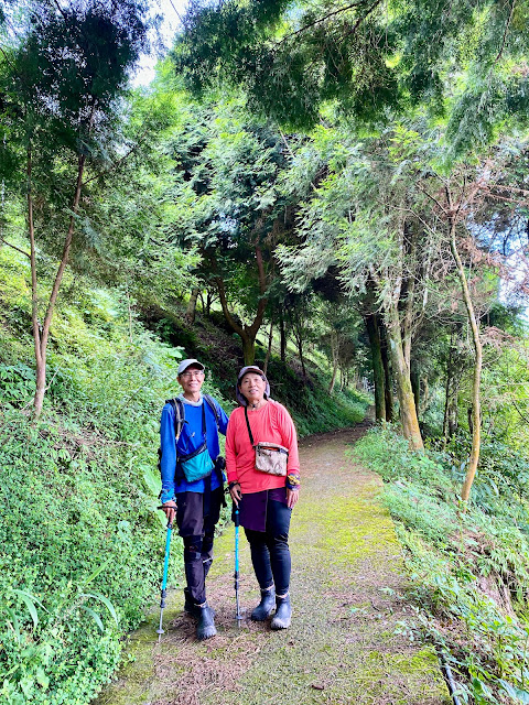
8:10離開,陡下後再由竹林往下,8:20接回產道,不久即接回6:36岔路,8:35回抵停車處,隨即開車離開,車回烏石巷,取往自由國小烏石分校方向,9:00經橋下「小棉堡」後,續經烏石分校,9:15車停於停車於神谷山鐵門登山口上方不遠處空地,停妥車後,往回走,取左進入鐵門(門開的),陡上水泥路,左邊為一民宅,跟主人打聲招呼後續行小水泥路,上至高點,有一大水塔,神谷山基石位於水塔旁。
 |
| 神谷山 |
 |
| 神谷山 |
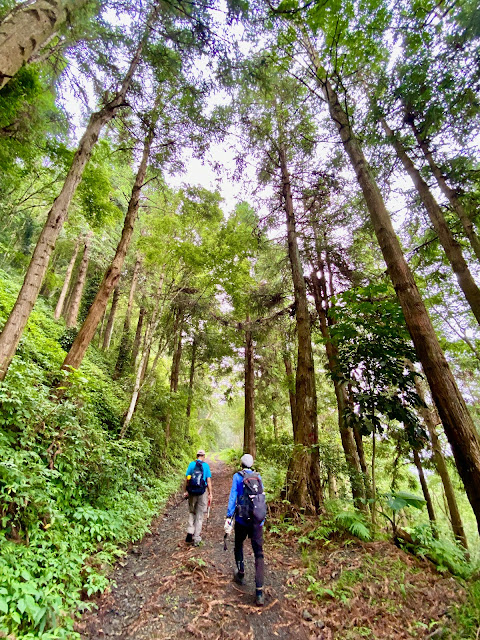
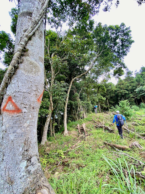
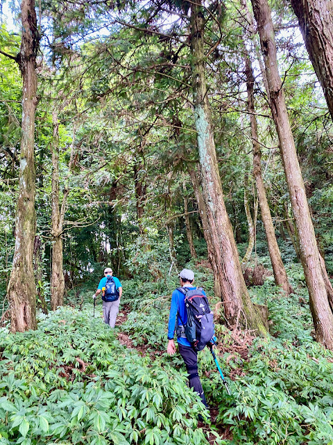
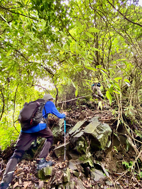
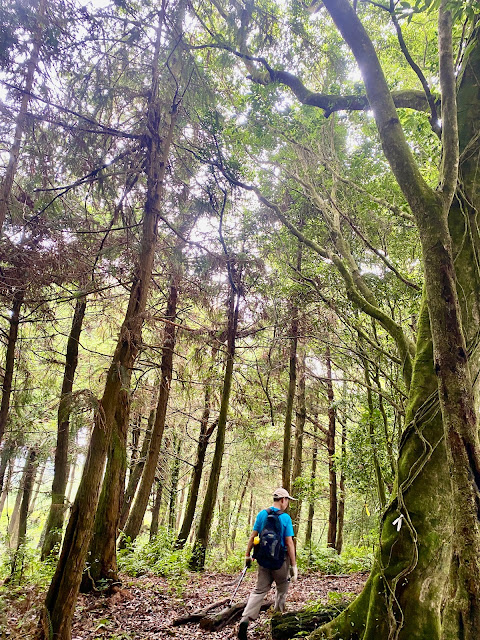
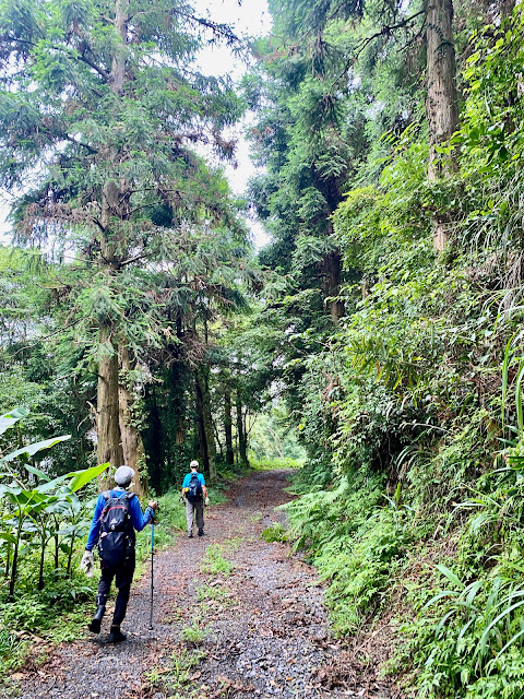
回至停車處,車續往遠藤山方向開,經右岔有鐵門產道通往遠藤山(不取),取直行通往遠藤山東峰,約10:00抵左側最後農宅,前行幾公尺有鐵鍊擋道,車子無法通過,只好將車子停於農宅前(真抱歉!沒注意看竟將車停於農宅出入口),接下來開始踢林道,大概要多踢1.5K,摩天嶺林道沿途林相不錯,10:35抵路底登山口,取右上切,不久進入樹林,山徑順稜行,之後陡上稜線有一芒草落差地形拉繩而上,11:15登頂遠藤山東峰,有顆自然石森林三角點,山頂無展望,續行可通往烏石坑山。
 |
| 往遠藤山東峰--鐵鍊擋道 |
 |
| 往遠藤山東峰--摩天嶺林道 |
 |
| 往遠藤山東峰--摩天嶺林道 |
 |
| 往遠藤山東峰--摩天嶺林道 |
 |
往遠藤山東峰--摩天嶺林道
 | | 往遠藤山東峰--摩天嶺林道 |
|
 |
| 往遠藤山東峰--登山口 |
 |
| 往遠藤山東峰 |
 |
| 往遠藤山東峰 |
 |
| 往遠藤山東峰 |
 |
| 往遠藤山東峰 |
 |
| 遠藤山東峰 |
 |
| 遠藤山東峰 |
 |
| 遠藤山東峰下山途中 |
 |
| 遠藤山東峰下山途中 |
 |
| 遠藤山東峰下山途中 |
 |
| 遠藤山東峰下山途中 |
 |
| 遠藤山東峰下山途中--回抵林道 |
 |
| 遠藤山東峰下山途中--回抵林道 |
 |
| 遠藤山東峰下山途中--回抵林道 |
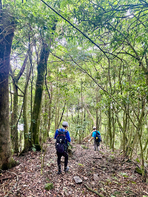
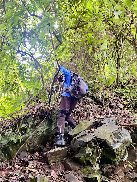
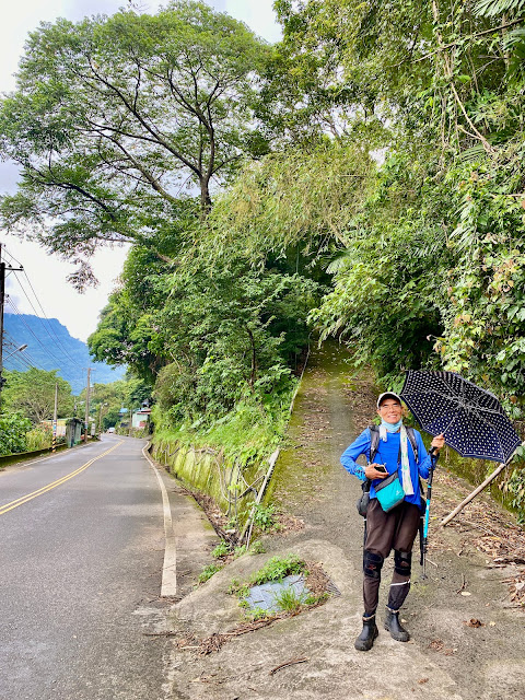
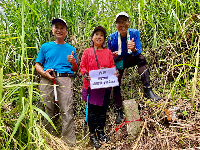
走到快無力了,到達山頂,二話不說,趕緊吃東西,休息約30分鐘,11:45原路下山,12:15回抵林道12:45回抵停車處。車行往中47鄉道,於竹林巷接中47鄉道,車停於16.3K,右為社區的籃球場,往前行約十幾公尺,取右岔水泥路上行,行約60公尺於民宅前左一根有電表的木電線桿下方雜草叢中看到竹林779號鑛務課基石,基石露土頗高。
 |
| 往竹林--登山口 |
 |
| 竹林 |
 |
| 竹林 |
回至停車處,續行中47鄉道,約18.6K右入育英巷(0K),0.2K取直,0.5K取右,1.25K取左,1.98K取左,2.25K工寮旁空地停車,達觀山登山口在約2.25K工寮,電桿「安壁枝3」右入小水泥農路,經鐵網門後,右上果園山坡地至高地水塔旁可見到達觀山基石,拍完照,剛下起雨來,撐著傘回至停車處,隨即開車回程,沿途雨勢頗大夾著陣陣打雷聲,好在已下山了,於16:00回抵家門。
 |
| 往達觀山--登山口 |
 |
| 往達觀山--遠望雪山坑山 |
 |
| 達觀山 |
 |
| 達觀山 |
 |
| 達觀山下山途中 |
航跡檔
交通路線:
東勢過卓蘭大橋取右,過白布帆大橋後接上中47鄉道岔取左,續直行烏石巷(不過烏石坑橋),烏石巷行約700公尺遇右岔產道右轉沿產道上行,岔路口路燈1731號,右轉後第一根電線桿編號為「烏山分1」,里程歸零;0.85K 岔路取左,1.5K岔路取左,1.6K岔路取左,2.2K取左岔續行,2.5K岔路口停車。
https://suan1219.blogspot.com/2009/03/blog-post.html
登頂台中縣二座觀音山 2009/3/21
https://suan1219.blogspot.com/2014/04/2014419.html
輕鬆撿蘇魯山、士林山、士林山北峰、遠藤山 2014/4/19
PS:更多內容請參閱:
Blog:恩戀山情
Facebook:恩言峰語
健行筆記:恩仔
Instagram:anchen1219


沒有留言:
張貼留言