三義基石巡禮--內雙坑山.關刀山西北峰.大草排山.三十二分山.十六分山 恩仔2024.1.4
攀登山岳:
內雙坑山 H414M 冠字高(16)土地調查局圖根點
苗栗縣三義鄉
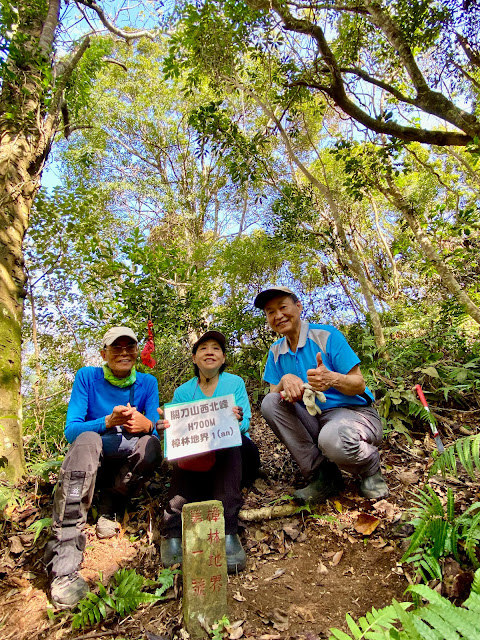
關刀山西北峰 H700M森林三角點、殖產局樟林地界第1號 苗栗縣三義鄉
大草排山 H450M 大正13年10月專賣局樟林地界第38號 苗栗縣三義鄉
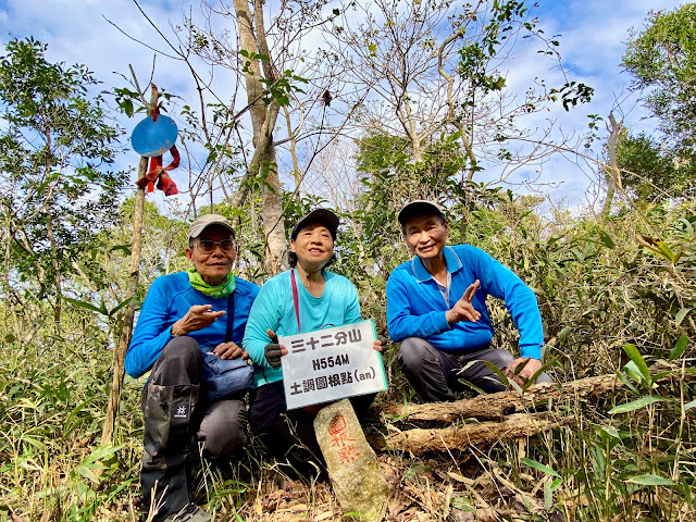
三十二分山 H554M 冠字高(11)土地調查局圖根點
苗栗縣三義與大湖鄉交界處
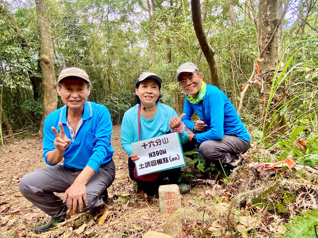
十六分山 H390M 冠字高(13)土地調查局圖根點
苗栗縣三義鄉
一早5:40坐上AndHan的車,前往三義找找基石。
 |
內雙坑山停車處
|
 |
往內雙坑山
|
 |
往內雙坑山
|
 |
| 往內雙坑山 |
 |
| 往內雙坑山 |
 |
往內雙坑山
|
 |
| 往內雙坑山 |
 |
| 往內雙坑山 |
 |
| 往內雙坑山-取左繞過巨石 |
 |
| 往內雙坑山 |
 |
| 往內雙坑山 |
 |
| 內雙坑山 |
 |
| 內雙坑山 |
 |
| 內雙坑山 |
內雙坑山
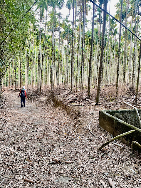
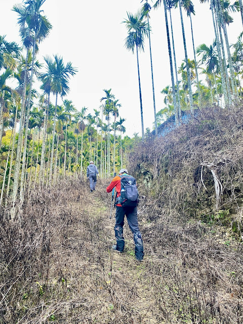
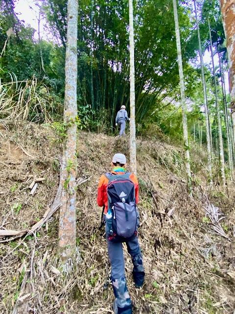
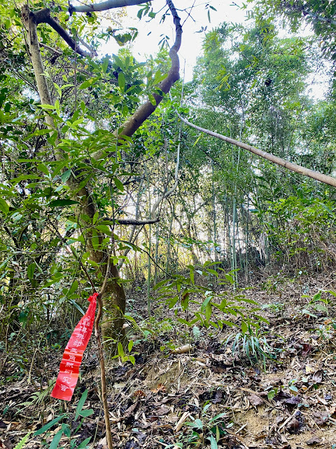
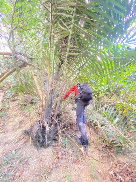
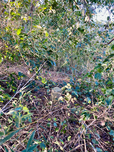
一高於三義下交流道,取苗49線往勝興車站北行,於於苗49約5.9K處右轉過小水泥橋接水泥產道往「太祥健康養生會館」方向上行,里程歸0K,0.35K取右岔直行,0.5K取右直行,0.6K遇岔路停車。6:50取左下,6:56遇岔路取右岔有鐵鍊產道為登山口,沿小水泥路下行,至路底取左下土路下到景山溪支流,過小水泥橋後經工寮後穿過荒廢的檳榔園,於一竹叢邊上切(有綁了一條紅色路條),上到稜線後取右一路沿稜線上行,沿路幾乎沒啥路條,一路砍上山。7:28遇一巨岩,由左側繞過,8:00終抵內雙坑山,再將基石旁雜草砍乾淨,上山砍了約1小時,頗累的一座小山。
 |
| 關刀山西北峰登山口 |
 |
| 往關刀山西北峰 |
 |
| 往關刀山西北峰 |
 |
| 往關刀山西北峰--沿路油桐花 |
 |
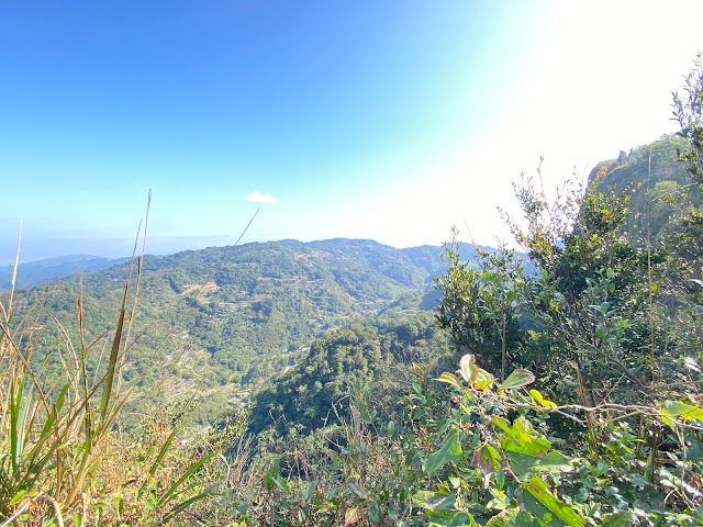
| 關刀山西北峰展望 |
 |
| 關刀山西北峰展望 |
 |
| 關刀山西北峰--山字森林點 |
 |
| 關刀山西北峰--殖產局樟林地界第1號 |
 |
關刀山西北峰--殖產局樟林地界第1號
|
 |
| 紫花酢醬草 |
關刀山西北峰
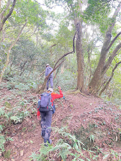
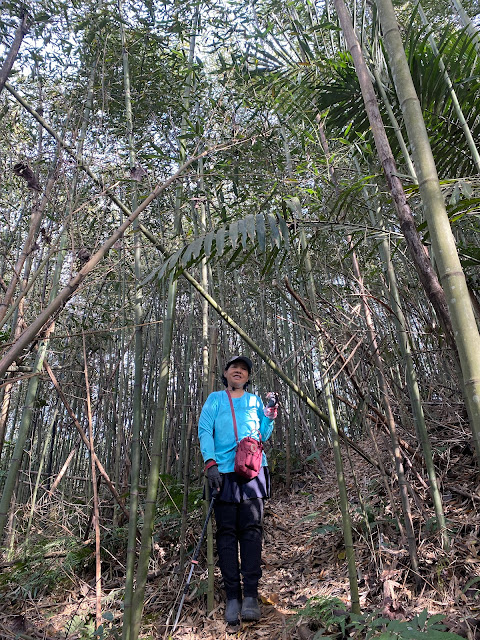
由內雙坑山循原路回到苗49鄉道右轉往勝興火車站北行,行約1.2公里遇苗56鄉道岔路,右轉往關刀山方向行約180公尺於苗56鄉道里程0.8K處左轉水泥農路上行,行約360公尺停車於柑橘園空地。9:45續往上行約100公尺水泥路底,取左登山口進入,山徑清楚好走,沿路還看到掉落的油桐花,10:23終抵高點關刀山西北峰山字森林三角點,山頂東北面眺望百二分凸等山,東面為關刀山的峭壁,續行仍有山徑往關刀山;山頂前20公尺,右下方有顆殖產局大正十四年樟林地界1號基石。
 |
往大草排山
|
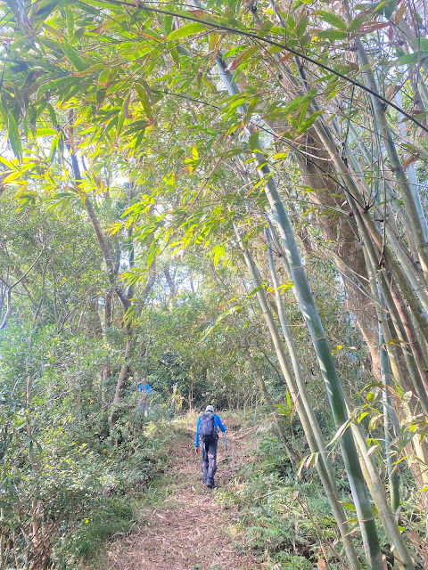 |
往大草排山
|
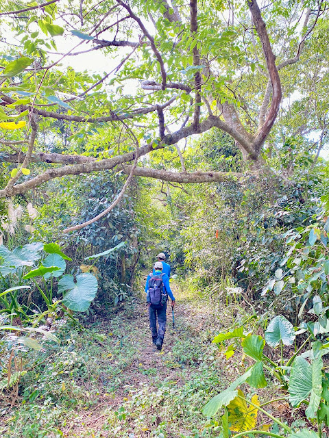 |
往大草排山
|
 |
| 大草排山 |
大草排山
苗56鄉道往關刀山東南行,在里程0.5K岔,車停於路邊,左入往五福山莊為大草排山入口,11:55開走,行約70公尺,路右保線路為大草排山登山口,沿路為好走的保線路,12:10抵大草排山。
 |
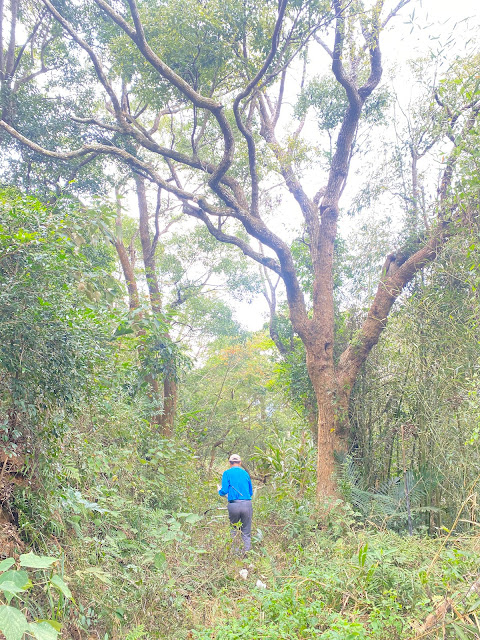
往三十二分山
|
 |
| 往三十二分山 |
 |
三十二分山
|
 |
三十二分山
|
 |
| 三十二分山 |
 |
| 三十二分山 |
 |
| 三十二分山下山 |
三十二分山
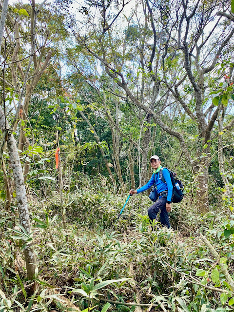
苗56鄉道左轉往關刀山方向續行,行約250公尺於苗56鄉道里程1.0K處取左苗56鄉道續行,再行1.6公里於里程2.6K處遇岔路,取左急轉苗56鄉道往關刀山,再行約950公尺於里程3.55K處遇多岔路,取右線緩下往新開、鯉魚潭水庫方向行;途經大湖第12公墓,此線走1.4公里遇岔路,取右岔下行,再行150公尺岔路取右下行,再行約180公尺至路底民宅前菜園旁停車;12:53往民宅前行,然後右轉兩面大擋土牆間水泥路上行,水泥路後轉為土路,行約110公尺岔路取右直行,再行約90公尺岔路取左行,再行約250公尺產道取右切上稜尾,上行約50公尺,13:15在山頂箭竹叢中看到三十二分山基點,基石歪斜、破損,山頂展望不佳。
 |
往十六分山
|
 |
往十六分山
|
 |
| 十六分山 |
 |
| 十六分山 |
 |
| 十六分山下山 |
 |
| 十六分山下山回抵登山口 |
十六分山
回至台13線49.2K岔路,右轉台13線行約150公尺於台13線49.35K處向左轉往勝興東南行,經過跨越國1高架橋後行約450公尺接到苗49-1鄉道右轉往勝興方向南行,60公尺隨即右轉岔路上行,行約50公尺右側矮柵門處即登山口,車停於前面附近空曠處,14:28由旁進入柵門,沿著寬大的產道上行,14:42即看到位於產道左邊的十六分山又叫水尾山或水美山。
航跡檔
PS:更多內容請參閱:
Blog:恩戀山情
Facebook:恩言峰語
健行筆記:恩仔
Instagram:anchen1219


沒有留言:
張貼留言